


The document also has a list of SP phone numbers just in case you wanted to… er… go back in time and make crank calls to the Lamp Room. Assuming you knew what the Lamp Room was, of course. On second thought, the telephone list is probably better for just getting a sense of what offices and roles were needed by the railroad even in the then-small town of San Jose. They're all two digit with various letters and extra digits, so you'd probably have had to go through the switchboard operator anyway.
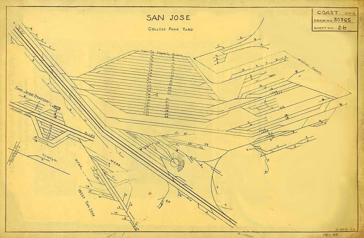
We've got Ken to thank for the 1931 track directory; he bought it and donated it to History San Jose. I've got more to say on what the track directory says about my 1932 era, but I'll leave those stories for another day. Check it out and add comments here about what interesting facts and details you find about the SP and San Jose in the directory.
I'll throw out one tidbit now, though. The fourth page includes a list of "tags" that clerks should apply to specify car routings - basically two digit numbers to indicate the destination. Cars going to the canneries near Auzerais St in Zone 8 got a tag of "8", while cars destined from Campbell to Santa Cruz got a tag of "72". Cars to Alameda got "61", Oakland "62", and Lawrence and Atherton "35". The tags hint at the likely ranges of the different switch jobs, and how work was partitioned; Campbell was treated differently from Auzerais St. because it would have been outside yard limits and thus served by road crews. (Wait a year, and Campbell would be in yard limits. Bet the zone would have extended, and the Campbell industries would have been switched by yard crews.) The separation between Alameda and Oakland probably hints at the volume of traffic as well as the potentially different routings.
Interestingly, I didn't know much about the tags till I read the 2012 edition of Great Model Railroads a couple weekends ago. Keith Jordan had an article on his Los Angeles switching layout, and he described the route cards idea Santa Fe used in later days for highlighting destinations for cars. On the Santa Fe, the tags were 3 inch square cardboard, intended to be stapled on the car side. I hadn't realized when reading that article that the SP would have used a similar scheme! Tony Thompson mentions route cards as well in one of his recent articles, but the two examples he had were from non-SP railroads. Time to keep an eye out for an SP-style numbered route card...
Again, check out the directory and share what odd or interesting facts you notice!
No comments:
Post a Comment
Note: Only a member of this blog may post a comment.